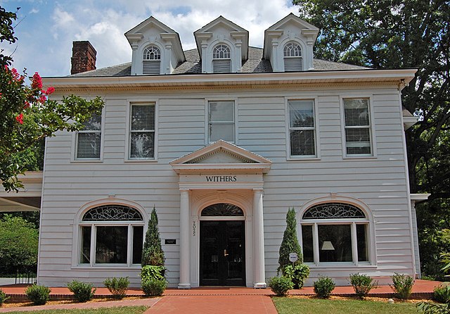

Myers Park (Charlotte)
Myers Park is a neighborhood and historic district in Charlotte, North Carolina, United States.Neighborhoods that are near Myers Park include Dilworth and Sedgefield to the west, Eastover to the east, Charlotte center city to the north, and South Park and Foxcroft to the south. The Little Sugar Creek Greenway runs along the western edge of the neighborhood, adjacent to Freedom Park. Though its boundaries originally coincided with the boundaries of the 1,220-acre (4.9 km2) John Spring Myers farm, the neighborhood, by 2008, comprised 2,200 acres (8.9 km2) and had a population of 9,809. Myers Park is bounded by Queens Road to the north, Providence Road to the east, Sharon Road to the south, and Park Road to the west.
- 1 Demographics
- 2 Culture
-
3
Transportation
- 3.1 Mass transit
- 3.2 Roads
-
4
Education and libraries
- 4.1 School system
- 5 Sites of interest
- 6 Historic district
- 7 References
- 8 External links
Links
Images Gallery
-

-
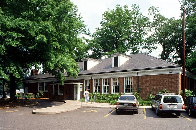 The Myers Park branch of the Public Library of Charlotte and Mecklenburg County
Comments
Share your experience with others and write the first comment about the location